


Year after year
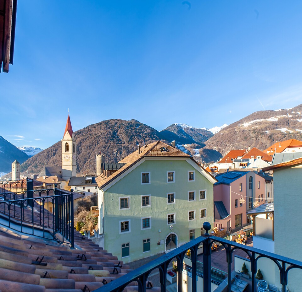
South Tyrol: Skiing & winter holidays in paradise
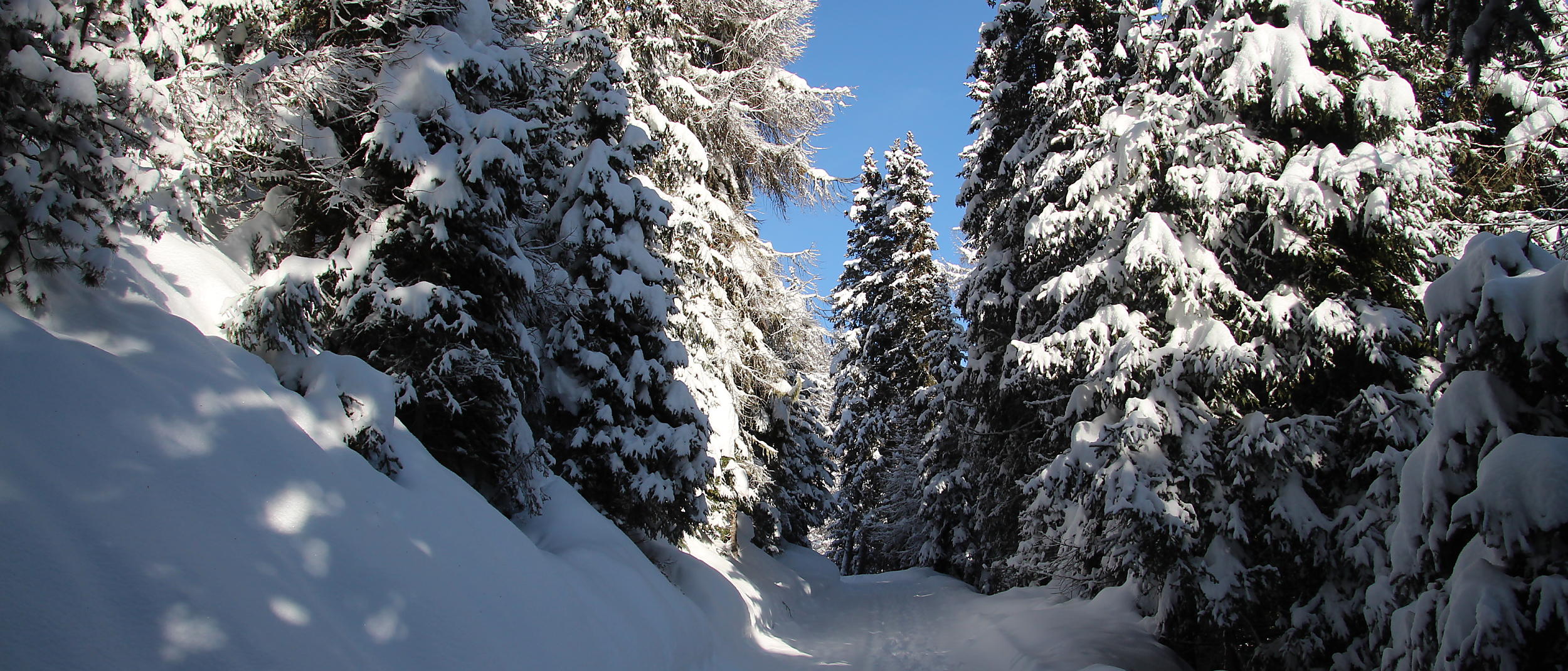
Would you like a bit of everything on your winter holiday? Combined with plenty of sunshine? Then you have found the right starting point with Hotel Greif. Several small to medium-sized ski areas can be reached in only ten to fifteen minutes. Among them the adventure mountain Watles with the sunniest pistes in South Tyrol and the connected cross-country skiing centre Schlinig. You can reach rustic, quiet side valleys for your snowshoe or ski tours just as quick. Host Robert always has an insider tip for your South Tyrol winter holidays.

Gentle winter sports
Cross-country skiing, hiking and ski tours in tranquil nature.

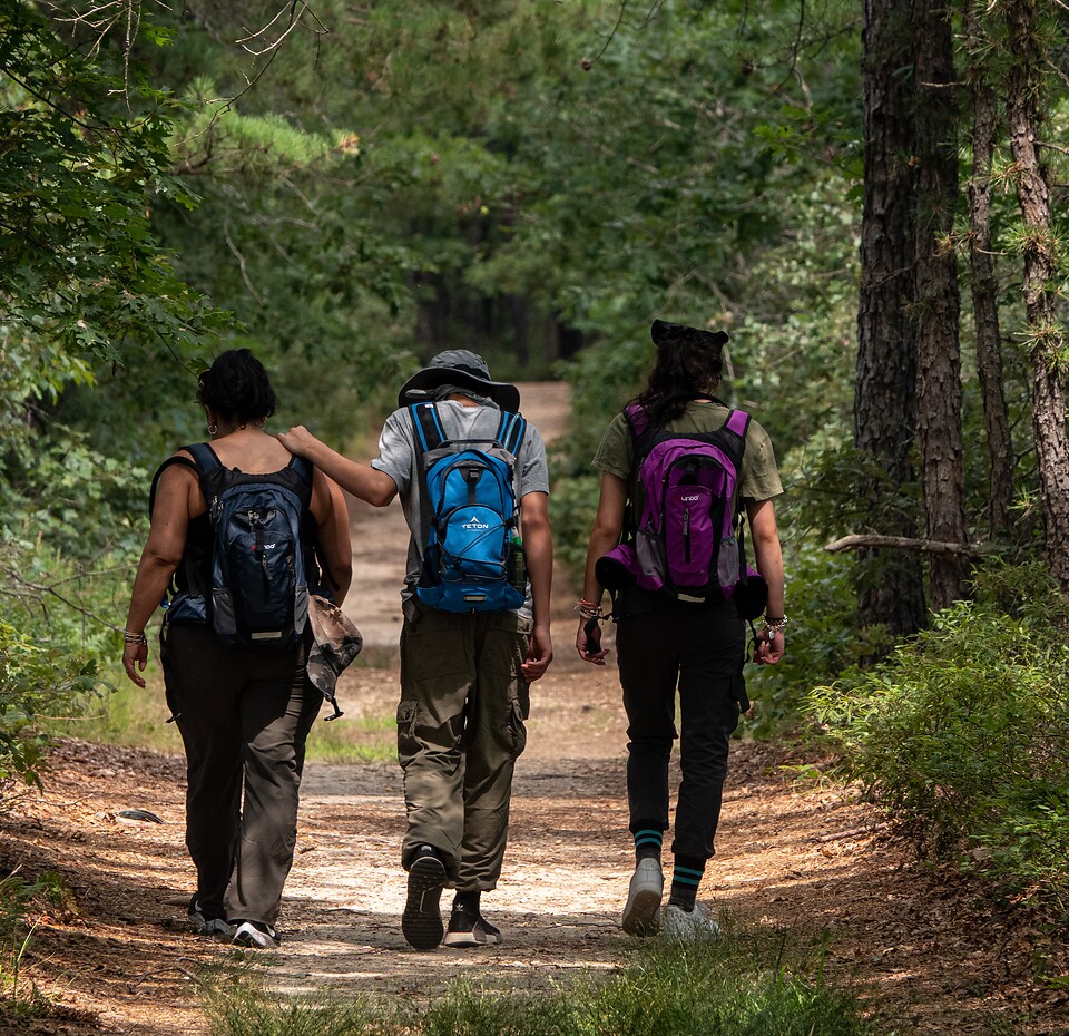
Hiking equipment
Snowshoes and hiking sticks for hire.

Skiing area Watles
Pleasantly small and only a 15-minute drive away.


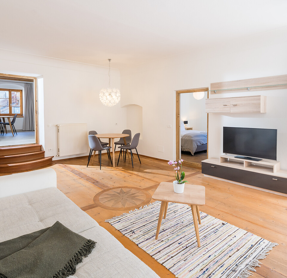
17 rooms
A breath of fresh air behind time-honoured walls.


At Watles, your winter and skiing holiday in South Tyrol becomes a stress-free pleasure, because everything is easy to manage. The adventure mountain deliberately does not want to be compared to the big ski centres. Nevertheless, it leaves no winter wish unfulfilled.